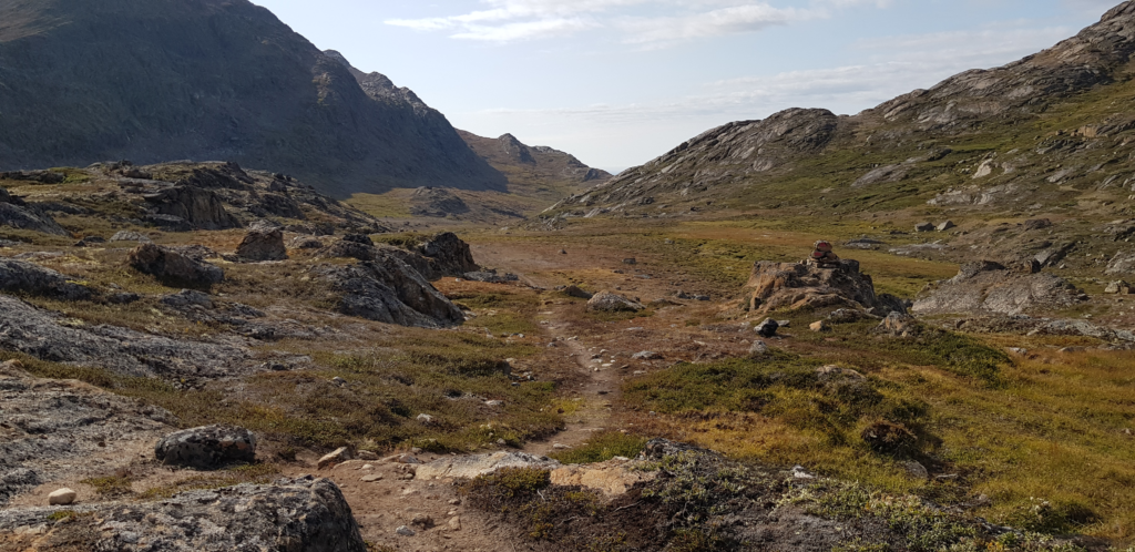
Waking up at the hut around 08:00, I discovered the Norwegian lady already gone and others still soundly asleep. I did my best to quietly take my stuff out and to start off without breakfast. After hugging the lake’s shore for a while, the path turned leftwards and went up. It was the last ascent – of about 400m – on the trail.
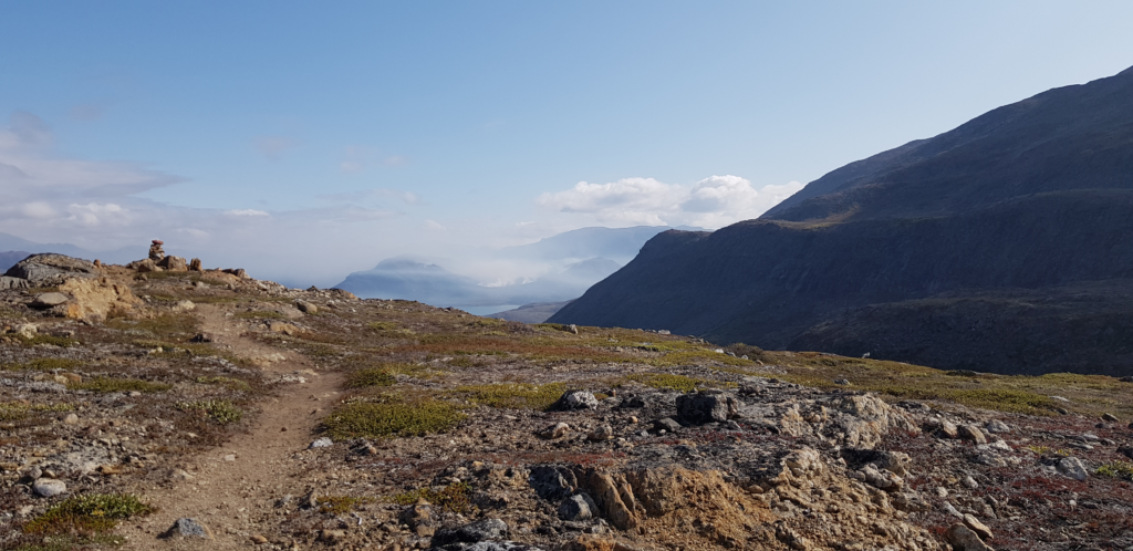
After the ascent it went for may be 6 km on the plateau (which was surprisingly wet and swampy – there were still patches of snow in the nooks and crannies above) and then started to descend.
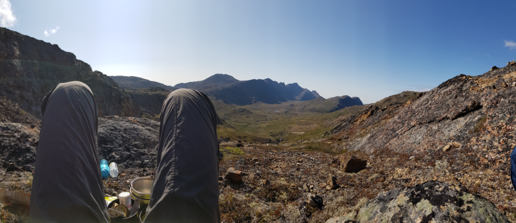
It was hard to walk, and despite almost feeling my goal nearby and rejoicing because of that, I still felt really tired.
I had way too much battery power left so I took headphones out and turned on Nirvana’s MTV Unplugged, which was one of very few albums that happened to be stored offline on my smartphone (this logic here probably needs an explanation…so let me digress)
Batteries and electronics
I was carrying my Samsung Galaxy S8 with offline OSM Greenland maps loaded previously and accessible over an OsmAnd app as my main cartography tool (which by the way has worked out beautifully!). As reserve I had the GPS watch, Garmin Instinct, with the trail loaded on it with huts as waypoints, primarily to use if smartphone dies or if I lose path under rain or snow etc, if its not possible to take the smartphone out and use it. I didn’t have any paper maps this time, as they proved quite useless last time I needed them – the moment I took the map out its paper disintegrated under the rain and turned into a colorful mash. The paper map’s level of detail was too small to be actually useful to find a trail.
I also used the same smartphone to take pictures.
Clearly there are no electricity outlets along the trail, so I used one 22000mAh powerbank and one 11000mAh as a reserve.
I put the smartphone in the airplane mode, which deactivates WiFi, cellular and Bluetooth connectivity, thus eliminating a lot of energy usage. I made a lot of pictures and longer videos, and not that often, may be once per hour, checked out the position and the map – not because I needed this information – path was clearly marked most of the times – but more as a civilization’s urge to fiddle with a smartphone just now and then.
The built-in battery charge on Galaxy S8 managed to hold for almost 3 days in this mode, so I had to recharge it (only) twice from the powerbank. I used the smartwatch to track routes – primarily to track the distance walked – setting a pace – so it had to be recharged nightly. The watch aint big deal, its battery is tiny.
I also carried a rental Iridium satellite phone along with its own reserve battery. Beyond a dozen texts home and a few calls – when I stopped being too cautious about the charge – I haven’t used it that much. Iridium phone ended the trip with most of its battery unconsumed.
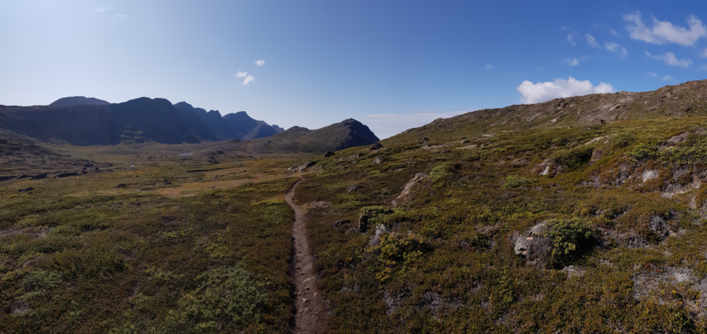
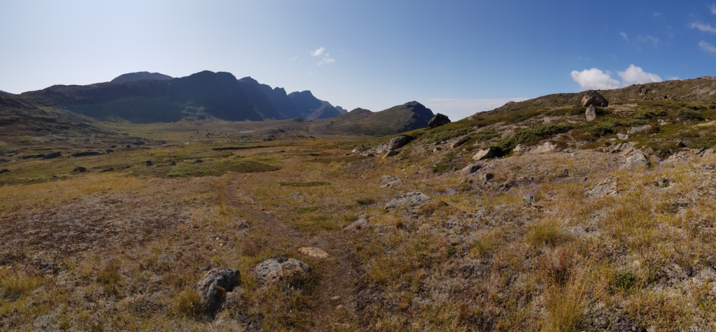
Plateau
Anyways, on the last day I decided there’s no point to be very cautious about charging anymore and so I turned the music on.
Nirvana’s MTV Unplugged held me strong for the plateau stretch.
Many hands began to scan around for the next plateau
Some said it was Greenland and some say Mexico
A reddish AirGreenland propeller plane passed overhead. I smiled at it and waved a hand.
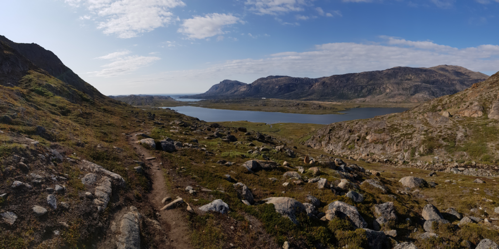
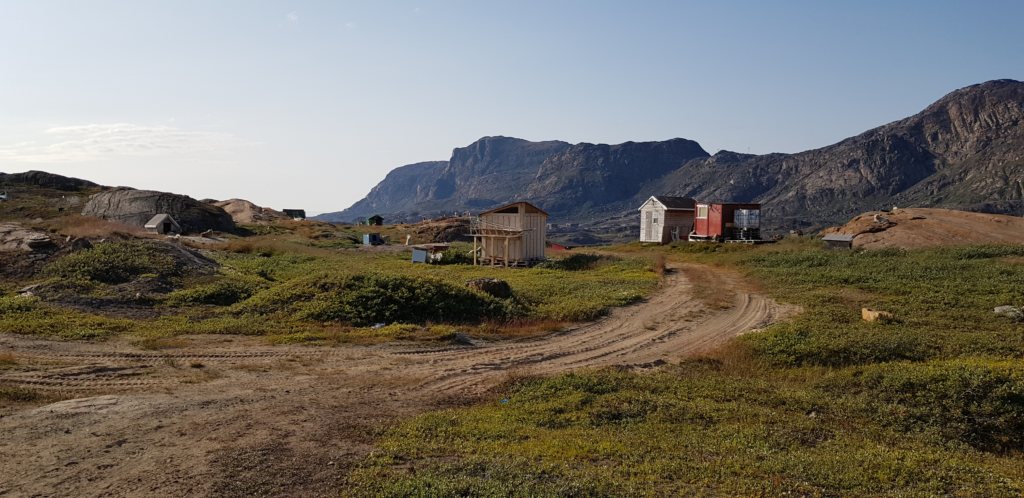
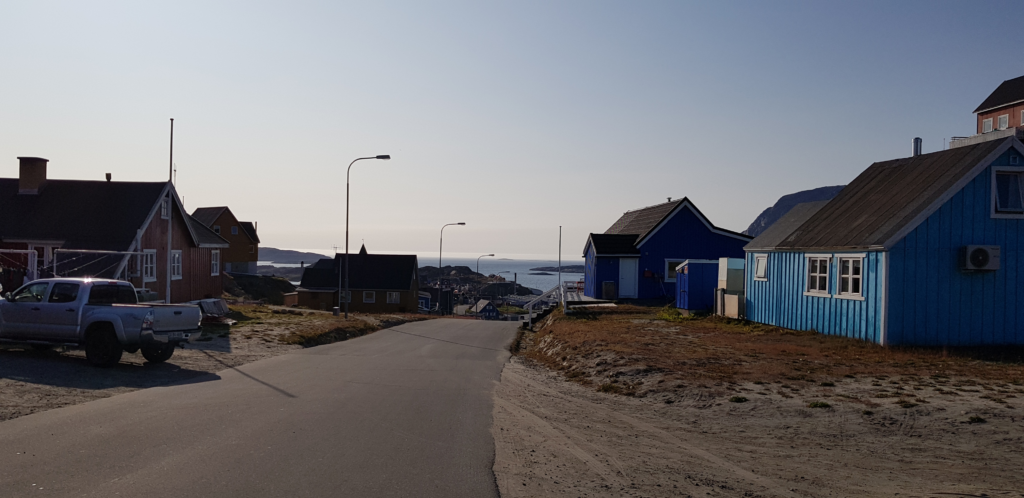
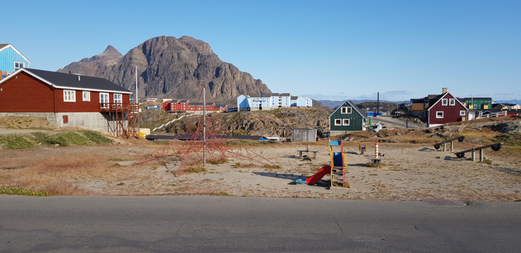
About 20km onto the day’s hike, I made another pause with Sisimiut already ahead of me, but still in some distance. I put the backpack down and disabled the Airplane mode on the smartphone. As if I were back in Germany, it found 3G at once and went on to get emails. Wilderness ends, officially.
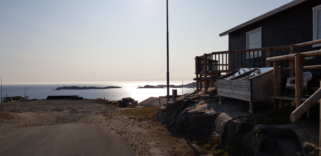
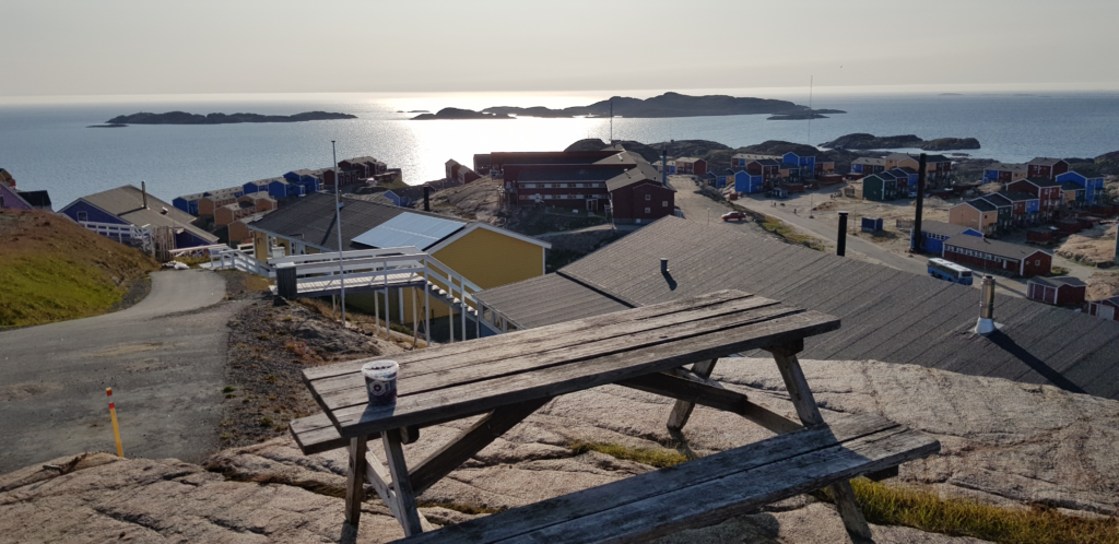
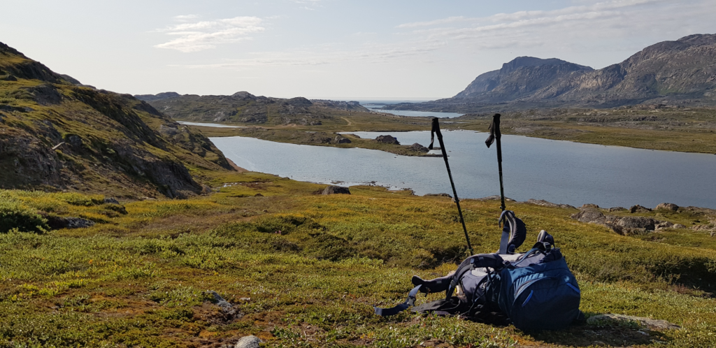
Around 19:00 I sat on the rock terrace and ate a bucket of blueberries, looking mindlessly to the sea against the blinding Greenland sun and feeling quite happy, until the chilly, sea-scented wind forced me back inside.